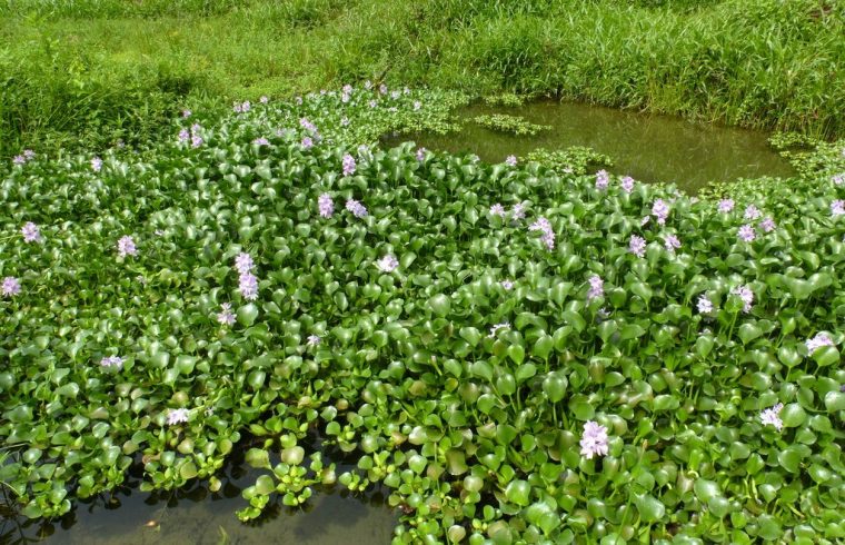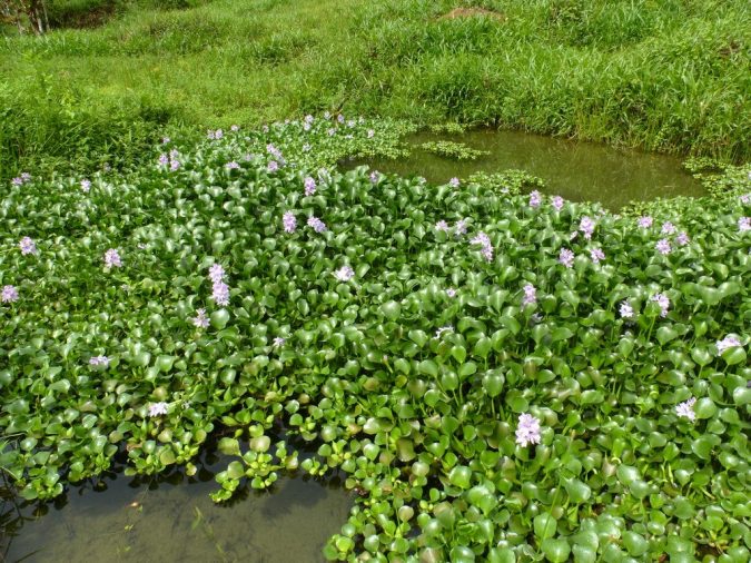
MUNICH — Water hyacinths are mats of green, waxy tropical foliage that bloom purple and white flowers as they float on rivers, lakes, ponds, and wetlands. Though they paint a pretty picture, the plants are invasive to many of the regions they inhabit and can choke out the underwater ecosystem below.
They are also trash magnets. As water hyacinths peacefully float down tropical rivers, plastic trash gets ensnared in the leaves and roots. A group of researchers is using hyacinths’ large patches to find river plastics in need of cleanup. “Ultimately understanding where plastics accumulate is needed to design efficient cleanup strategies,” says Louise Schreyers, a PhD candidate in hydrology at Wageningen University & Research.
Schreyers talked about how to spot plastic-laden hyacinths in satellite imagery this week at the European Geosciences Union (EGU) General Assembly 2022.
Hyacinth patches can grow large enough to be visible from space. Previous work by Schreyers and her colleagues demonstrated how high-resolution satellite data could be used to map the extent and migration of the patches along some waterways, including the Saigon River in Vietnam. The researchers found that hyacinth coverage, and therefore plastic transport along the river, was seasonal; more plastic is moved downstream during the wet season than during the dry season.
Now, the group is trying to determine just how much plastic is entangled in the floating mats. Their latest estimate is that roughly 210,000 plastic items per square kilometer are floating on the Saigon, but this varies in time and along the river’s length, Schreyers says.
Additionally, Worldview-3 satellite imagery has a resolution of about one meter, yet much of the plastic trash floating downstream is smaller than that. “This means that even with high-resolution satellite imagery such as Worldview-3, many items are not detected,” Schreyers says.
Daily imaging of the Saigon from the skies gives the researchers an idea of where the hyacinths migrate over time. Schreyers says she is surprised at how unstable and dynamic the patches are. “Days of high plant coverage can be followed by days of low coverage.”
Given this, mapping floating plastics would be challenging from the ground. “With remote sensing, we can cover an entire river system and establish long timeseries analyses,” Schreyers says. “We hope this work can inspire cleanup strategies at local and national scales.”


